November 2007 Campout Highlights
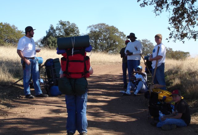
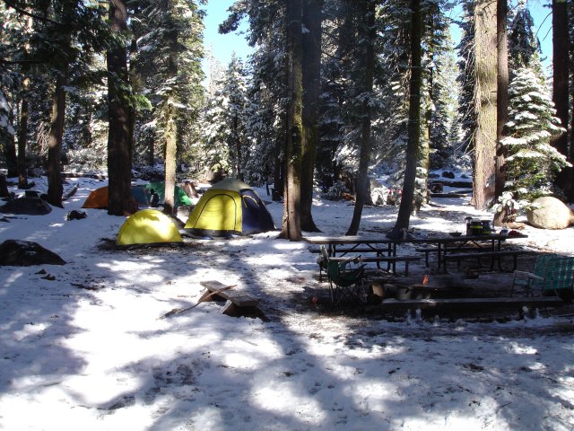
Saturday, November 4 through Sunday, November 5th, Troop 792 went on their first real backpacking adventure. Okay, okay, so we were allowed to have one support vehicle to carry water and food. But all but one of us back packed in, and back packed out, carrying all of our tents, sleeping gear, and other standard backpacking gear.
The campout was located at Henry Coe State Park, just east of Morgan Hill, California.
The hike in was about 3 miles. It was a little warm, and this was the first hiking trip ever for some of the scouts, so we took frequent rest stops. Kelin set a brisk pace when we were hiking.
Our Path
<googlemap lat="37.184254" lon="-121.519775" type="satellite" zoom="13" width="525" height="525"> 37.17308, -121.51785, Base Camp 37.17252, -121.49594, China Hole
- 758BC5
37.186724, -121.54708, Henry Coe State Park Entrance 37.186955, -121.546748 37.186664, -121.54634 37.186698, -121.545353 37.186314, -121.544387 37.185587, -121.544055 37.185408, -121.543701 37.185502, -121.542864 37.185775, -121.541898 37.185664, -121.541609 37.185596, -121.54089 37.185194, -121.539817 37.184758, -121.538594 37.184237, -121.537435 37.18439, -121.536813 37.184758, -121.536244 37.184715, -121.535032 37.183818, -121.534163 37.184014, -121.533294 37.183886, -121.531137 37.182117, -121.529238 37.181202, -121.526899 37.18045, -121.525344 37.179039, -121.523466 37.17792, -121.521921 37.177236, -121.519829 37.176466, -121.519164 37.175765, -121.518348 37.174902, -121.517351 37.173645, -121.517469 37.173201, -121.517619 37.173115, -121.51778 37.173244, -121.517597 37.172833, -121.517007 37.17521, -121.512651 37.174594, -121.510334 37.175483, -121.505935 37.174902, -121.502824 37.174936, -121.50027 37.173927, -121.498597 37.17297, -121.498253 37.173568, -121.497931 37.173004, -121.497824 37.173295, -121.497288 37.172714, -121.497266 37.173038, -121.496665 37.172525, -121.496537 37.172543, -121.496043 37.170251, -121.499133 37.170901, -121.500742 37.17138, -121.504283 37.169927, -121.508768 37.165977, -121.514003 37.167122, -121.514368 37.169567, -121.514883 37.170987, -121.515033 37.171431, -121.514626 37.173209, -121.516213 </googlemap> We first hiked from the entrance to base camp. After we set up camp, we hiked to China Hole, via the Northern route. After playing around China Hole far a while, we ascended 1050 vertical feet back to base camp.
Base Camp
China Hole
China hole is a LONG walk down! And, a LONGER walk up! Actually, it's 1000+ vertical feet below our base camp!We had a rock fight. The rocks hit the
Wildlife
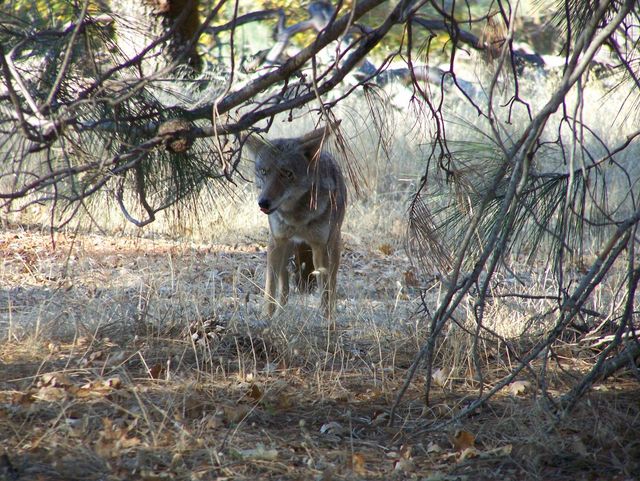
One of the highlights of the trip was the wildlife. Almost as soon as we arrived, a coyote greeted us. No, he didn't attack - he stayed his distance. But, he was clearly not afraid of humans.
We decided Sunday when we left that the coyotes must scavenge food from the camp sites, because a second coyote stayed around camp Sunday until we left, and then made a bee-line to our camp fire to see what we had left (not much).
On the drive in, betwen Morgan Hill and Coe Park, we saw 2 dear by the road, and about 10 wild turkeys in the road! At base camp, a 6 point buck charged in and stole a peanut butter and jelly sandwich that was in the campfire circle! After dark, an entire herd of deer decided to graze just out of site of the campfire - but not so far away that the support truck's spotlight wasn't able to show them quite dramatically!


